Resilient Ready Tampa Bay uses Oldsmar, Tampa, St. Pete Beach to build a strategy for sea-level rise
The Resilient Ready Tampa Bay report uses sites in Tampa, Pass-a-Grille and Oldsmar as case studies to prepare the region for climate change and sea-level rise.

St. Petersburg City Council Member and current Tampa Bay Regional Planning Council Chair Brandi Gabbard has a saying to describe the area’s growing threat from climate change and sea-level rise.
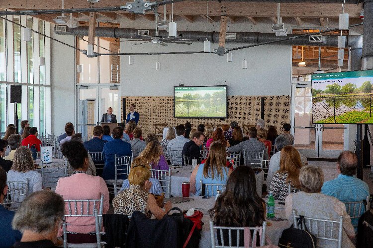
“I always say, ‘We are ground zero for the effects of climate change, we should be ground zero for the response,’” Gabbard says during opening comments at the June 24 Resilient Ready Tampa Bay symposium on response strategies to the region’s flood and sea-level rise challenges.
Without a substantial regional readiness effort, the impact on the daily lives of the 3.8 million people living in Tampa Bay may be significant. The National Oceanic and Atmospheric Administration says areas of St. Petersburg may face up to 11 inches of sea-level rise by 2050, the same amount as the prior 100 years. A recent Tampa Bay Partnership report says that, without action, the loss of land to tidal inundation could result in a loss of $16.9 billion in property values across the region.
Against that backdrop, the Regional Planning Council has used funding from the Florida Department of Environmental Protection’s Resilient Florida Coastlines program to work in conjunction with sustainability and public works staff from local governments, environmental, design and engineering firms and the public on strategies and project proposals to minimize the impact and sea-level rise. New Orleans-based architecture and environmental firm Waggoner & Ball, which has planned similar resilience projects in Louisiana post-Katrina, leads the design team.
Their work looks at a trio of sites that represent the different landscape types in the region as case studies: an inland basin in north Tampa, RE Olds Park on the Upper Tampa Bay estuary in Oldsmar and the barrier island community of Pass-a-Grille in St. Pete Beach.
The strategies and project proposals mix “defense,” infrastructure such as seawalls, pumps, baffle boxes and tidal gates to defend dry land from flooding and tidal intrusion, and “adapt,” a more long-term vision to adapt to a wetter future. Those adaptive measures include input from a representative of the Netherlands, where response and resilience strategies have included the introduction of floating homes and neighborhoods.
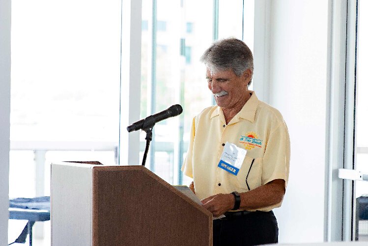
“The information obtained from this study is going to be priceless going forward,” St. Pete Beach Mayor Alan Johnson says at the June 24 symposium delving into the study.
Johnson says St. Pete Beach has spent five to six years investing in drainage system improvements and infrastructure such as baffle boxes and tidal flex valves to stem tidal flooding. But he knows it is not nearly enough for what’s to come.
“We are a barrier island so we know we are fighting Mother Nature on this,” Johnson says.
The Resilient Ready Tampa Bay report and some related panel discussions at the June 24 symposium about funding options for the significant investments required, the need for collaboration between and within local governments and public engagement strategies are intended to help guide the county and municipal governments that came together in 2018 to form the Tampa Bay Regional Resiliency Coalition.
Three locations, three approaches
In north Tampa, the study looks at an area between the University Square and Sulphur Springs neighborhoods. The low-lying, largely residential area of concrete slab homes covers a 400 -acre closed, urban watershed that drains through four detention ponds and concrete slab homes and, eventually, the Mary Sink sinkhole. From there, water flows to the Sulphur Springs springshed and the Hillsborough River.
Rainfall-runoff is the main flooding risk, accumulating faster than drains. Currently, the existing detention pond system can handle 20 percent of the water produced by a 10-year/24-hour rain event.
The study envisions transforming the separate detention ponds in the area into an interconnected stormwater park that would use right-of-way, the detention ponds and the basin’s sink to improve stormwater capacity, water quality and recreational opportunities for the area. It builds on a City of Tampa plan to purchase land near the sinkhole to expand the detention pond system.
Wetland trees and other vegetation near the edge of the ponds will help remove nutrients and pollution from the runoff and add to the neighborhood’s tree canopy Landscaping, pathways, walking trails that loop around the detention ponds and boardwalks along the edge of the ponds would create a recreational corridor along 99th Avenue from David E. West Park to the Elmer Street and Club Lane intersection. Weirs and culverts will help improve drainage.
Discussing the plan at the June 24 event, Tampa Mayor Jane Castor says the city wants “to dream big and think of what we can do that is the most impactful in our communities.” In that light, the strategy in north Tampa, and its potential as a model for areas of the city, could be “transformational to our city.”
The significant challenge, she says, is funding the project. The approximate estimates in the study, which would still need to go through formal design work and fine-tuning, are nearly $8.6 million, with the potential burying of power lines, land purchases and site improvements to the sinkhole area possibly adding an estimated $1.4 million.
RE Olds Park
In Oldsmar, waterfront RE Olds Park is in a low-lying and flood-prone residential neighborhood along Upper Tampa Bay. The area’s current base flood elevation is nine feet and it will have to rise to 13 feet by 2070 to keep up with sea-level rise. Even then, storm surge could reach inland to Tampa Road. The Resilient Ready Tampa Bay report says, at some point, property values near the shore may not justify the investments required to keep homes there dry. Without strategies to keep land and homes dry, insurance values may soar and property values may plummet, the report says.
In this area, strategies include renovation work to raise the elevation of RE Olds Park, restoration of mangrove and marsh areas and the planting of additional vegetation to protect against shore erosion and storm surge.
Inland, medians and right-of-way are reconfigured to serve as bioswales to help collect and carry stormwater and large open spaces on publicly-owned land are converted into stormwater detention features. Substantial investments to keep land dry could include construction to elevate St. Petersburg Drive.
Pass-A-Grille
The barrier island community of Pass-A-Grille faces flood threats from the Gulf of Mexico, Tampa Bay, rainfall and groundwater. Already, the historic community experiences “sunny day” flooding approximately once a month and may face sea-level rise of 1.2 feet in the next 20 years and by up to three feet by 2070.
Strategies include rebuilding and raising the seawall, a project St. Pete Beach city government has studied but lacks funding to tackle at this point. A pump system and stormwater storage system under the existing road grid are proposed near-term steps to defend dry land.
Adapting to sea level rise in the long-term will require significant steps such as the elevation of roads and homes and a reconfiguration of the street grid network.
A guidepost for the process
The streamlined planning process to develop strategies for the north Tampa, Oldsmar and Pass-a-Grille sites that could serve as models for the larger region has a precedent of its own to follow.
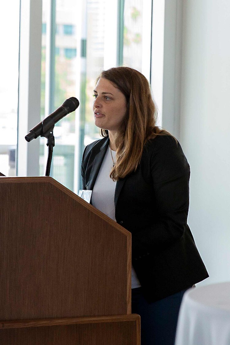
In 2019, Sarah Vitale, a senior planner with the Tampa Bay Regional Planning Council, worked with New Port Richey officials to identify a project to respond to flooding and resiliency risks in downtown New Port Richey. Through a two-week rapid redesign analysis, they come up with the idea of a stormwater system that doubles as a floodable community park, the type of green infrastructure planning officials say will be needed to adapt to a wetter future.
New Port Richey names the project South Gateway Inundation Park and advances a version of it. This year, the city received $800,000 from the state through the Resilient Florida grant program and put up an $800,000 match in local money to cover engineering and construction and make the park a reality.
At the June 24 symposium, Vitale points to the New Port Richey project as an example of how collaboration and rapid planning can help identify a solution to address sea-level rise and flooding risks.
Moving Ahead
The final version of the Resilient Ready Tampa Bay study is scheduled for completion in July. Moving ahead, planning officials say local governments throughout the region can follow it as a map to for similar projects that, if added to their capital improvement plan, could be eligible for state and federal funding assistance.
Multiple local government officials at the event feel significant public outreach and community engagement campaigns will be necessary to explain the benefits and need for these projects, particularly since they require substantial investments.
For more information, including a copy of the report and a video of the June 24 symposium, go to Resilient Ready Tampa Bay.
Author

Related Articles

St Pete Innovation District celebrates 10 years, looks to future
The St. Pete Innovation District is a hub of research, entrepreneurship, education, and collaboration.
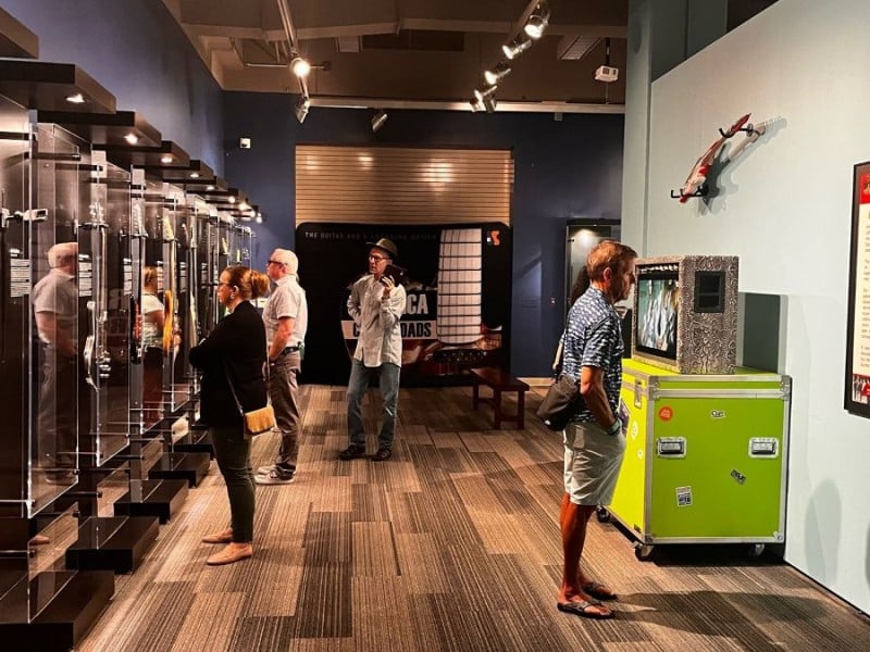
Rock on! History Center extends popular guitar exhibit
“America at the Crossroads: The GUITAR and a Changing Nation” is at the Tampa Bay History Center through August 23.

Tampa Theatre’s “Second Century” transformation
Historic renovation and modern upgrades are getting the Tampa Theatre ready for its 100th birthday.